info prev up next book cdrom email home

Miller Cylindrical Projection

\begin{figure}\begin{center}\BoxedEPSF{maps/micy.epsf scaled 500}\end{center}\end{figure}

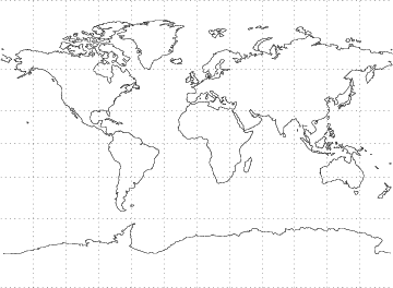
A Map Projection given by the following transformation,

$\displaystyle x$ $\textstyle =$ $\displaystyle \lambda-\lambda_0$ (1)
$\displaystyle y$ $\textstyle =$ $\displaystyle {\textstyle{5\over 4}}\ln[\tan({\textstyle{1\over 4}}\pi+{\textstyle{2\over 5}}\phi)]$ (2)
  $\textstyle =$ $\displaystyle {\textstyle{5\over 4}} \sinh^{-1}[\tan({\textstyle{4\over 5}}\phi)].$ (3)

Here $x$ and $y$ are the plane coordinates of a projected point, $\lambda$ is the longitude of a point on the globe, $\lambda_0$ is central longitude used for the projection, and $\phi$ is the latitude of the point on the globe. The inverse Formulas are
$\displaystyle \phi$ $\textstyle =$ $\displaystyle {\textstyle{5\over 2}} \tan^{-1}(e^{4y/5})-{\textstyle{5\over 8}}\pi={\textstyle{5\over 4}}\tan^{-1}[\sinh({\textstyle{4\over 5}}y)]$ (4)
$\displaystyle \lambda$ $\textstyle =$ $\displaystyle \lambda_0+x.$ (5)


References

Snyder, J. P. Map Projections--A Working Manual. U. S. Geological Survey Professional Paper 1395. Washington, DC: U. S. Government Printing Office, pp. 86-89, 1987.


© 1996-9 Eric W. Weisstein
1999-05-26